
Professionalising the use of drone technology in Galapagos
Professionalising the use of drone technology in Galapagos as a tool to monitor and assess habitats, species populations and threats.
Drones, or unpiloted aircraft, have become increasingly popular for capturing unique wildlife and landscape shots, from hobbyists to professionals. Their relatively low cost and technological advances have a wide variety of applications for conservation. From using infrared imagery to track orangutans in Borneo to aerial surveys of African elephants, they have become a widely used tool to monitor and assess habitats, species populations and threats. In this blog we look at how we can use drone technology in Galapagos.
Drones in Galapagos
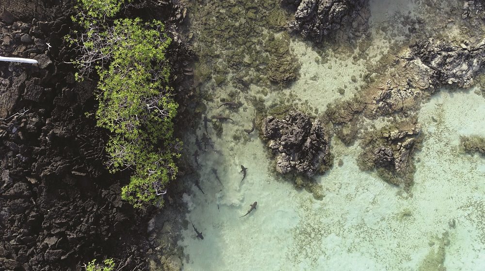
There is huge potential for using drones in Galapagos to improve conservation management across a range of habitats and species. For example, in previous blogs we have spoken about the use of drones to monitor baby shark ‘nursery’ sites in Galapagos’ mangrove lagoons. Our results demonstrated this to be a more accurate and efficient way to measure juvenile shark abundance than traditional net surveys.
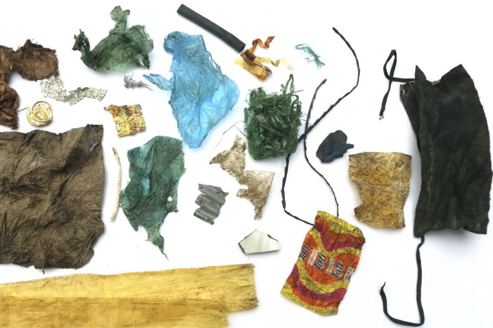
Moreover, as part of our Plastic Pollution Free Galapagos programme, we undertook pilot drone surveys in 2018-2019 which proved to be an effective and efficient way to study and monitor coastal plastic pollution, especially remote and inaccessible sites around the Islands. However, limited local capacity, unavailability of formal training and lack of defined drone pilot standards reduces the safety, reliability, and repeatability of current drone survey methodologies in Galapagos.
Drone pilot training
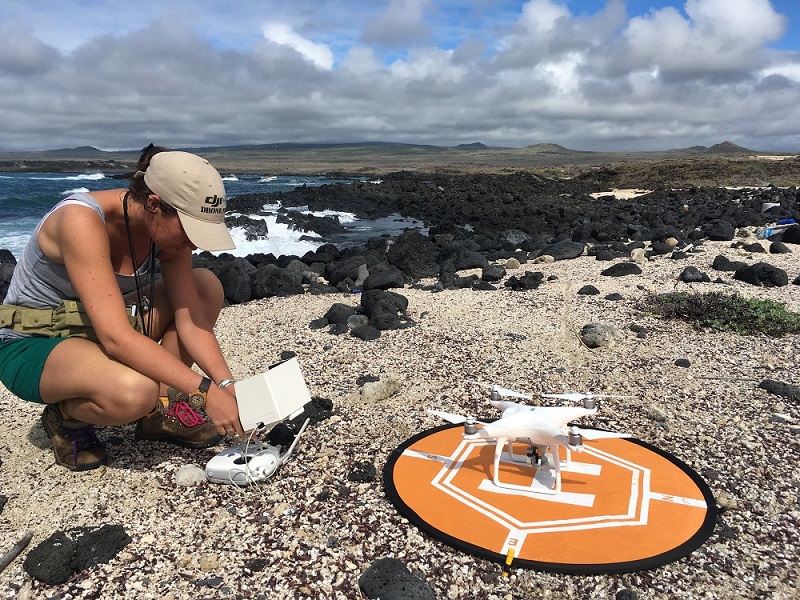
Recognising the need to strengthen capacity for drone piloting on the Islands, GCT launched a new project in 2020 to ensure local rangers and researchers have the skills to effectively and safely use drone technology to monitor threatened species populations and key threats such as plastic pollution. GCT has teamed up with UK drone trainers, Airborne, and national researchers to deliver a drone pilot training project, using a ‘train the trainer’ model, via two training hubs; a virtual environment established at the Universidad de San Francisco de Quito (USFQ) in Quito, Ecuador and a practical station planned at the Galapagos Science Center on San Cristobal, Galapagos.
Importantly, regulations for drone flying in Ecuador are being set up by the Ecuadorian Civil Aviation Authority due to the increased popularity within the country. We have aligned our training plans with the proposed changes, helping to inform proposed target qualification levels based on UK and US standards. There is still a lack of specific regulations for the use of these technologies in protected and sensitive areas such as Galapagos. Therefore , we have agreed on minimum standards for drone deployment within the Galapagos National Park and Marine Reserve through establishing a Galapagos National Park Drone Deployment Protocol.
Phase two
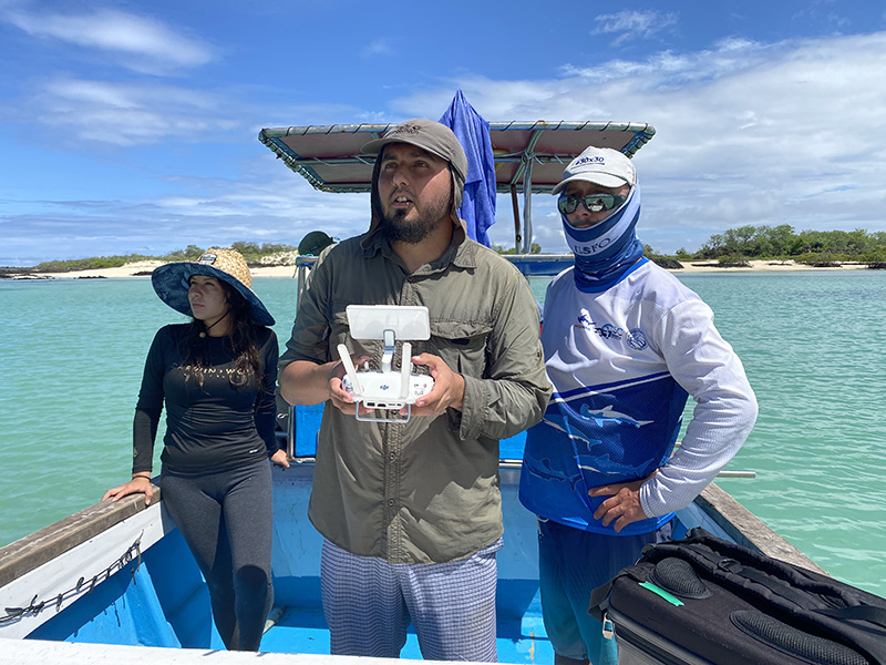
Phase two of the programme will see our newly qualified drone trainer, Gonzalo Rivas-Torres from USFQ, train local park guides and researchers to undertake various monitoring activities, including regular plastics and shark nurseries surveys. Six drone pilots will also be trained to support a comprehensive survey of the Galapagos coastline later this year.
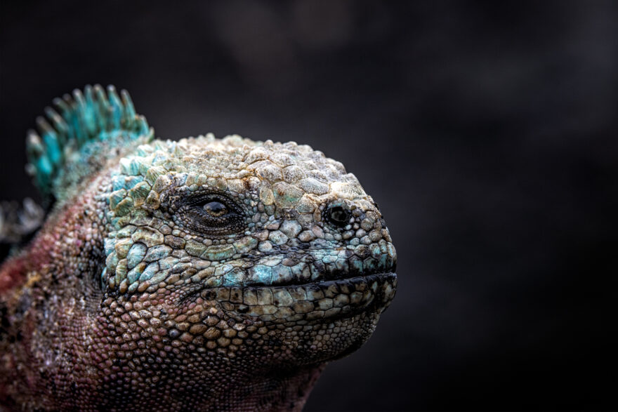
Our project team, led by Dr Amy MacLeod and supported by local rangers and scientists, will be using coastal drone surveys to capture images of four Critically Endangered or Endangered marine iguana sub-species along with plastic ‘hotspots’ identified by oceanographic modelling. These images will be processed through a citizen science campaign allowing the public to engage with and support the conservation of these Enchanted Isles. Data generated by citizen scientists will support marine iguana population counts to feed into a review of the species IUCN status and will assess the abundance and composition of plastic pollution in vulnerable habitats.
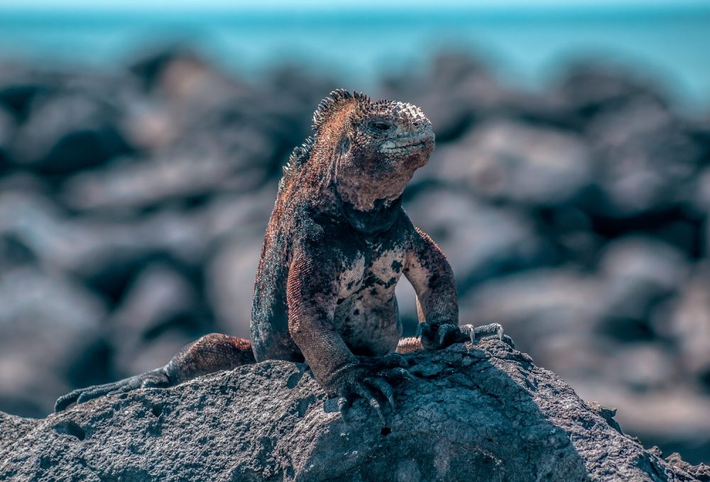
The training manuals and protocols produced via this project will be shared with our partners and regional network of researchers to promote a cohesive approach to coastal drone surveys in protected areas in mainland Ecuador and Peru.
Phase one of the drone training project was supported by the British Embassy Quito with in-kind support from Airborne Platforms UK Ltd.
How can you help?
Please help us conserve the endangered sharks of Galapagos today by giving a donation, adopting a Galapagos animal or joining up as a GCT member.
Related articles

New research shows that Galapagos giant tortoises are ingesting plastic waste
Creating a circular economy for plastics in Galapagos
